The City That Canals Built
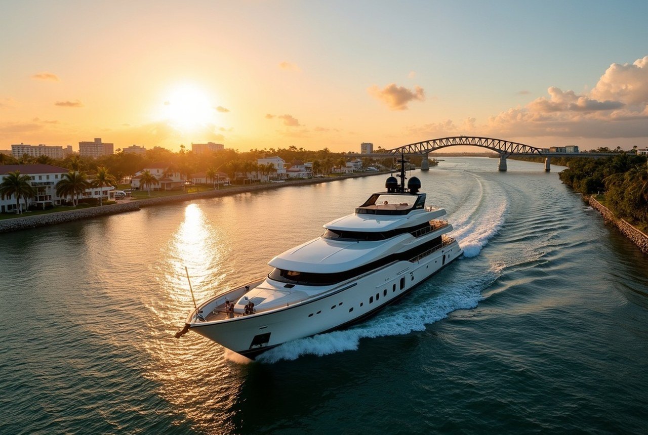
Fort Lauderdale didn't grow around its waterways; it grew because of them. In the 1920s, developers dredged the flatlands flanking the New River and the coastal ridge, turning marshy fingers of land into buildable lots with direct water access. The result is roughly 165 miles of navigable canals threading through neighborhoods, marinas, and mangrove edges — more, by most counts, than Venice. That comparison gets made a lot around here, and it still holds up.
The Intracoastal Waterway is the main artery, a protected channel running parallel to the Atlantic that connects Broward County's shoreline to the broader coastal network stretching up and down the Eastern Seaboard. On any given afternoon you can watch a parade of mega-yachts — Fort Lauderdale is the undisputed global capital of the superyacht industry — drift past million-dollar docks while a pelican works the same stretch of water with complete indifference. The contrast doesn't get old.
From shore, you can admire all of this. From the water, you understand it.
The Hop-On Difference
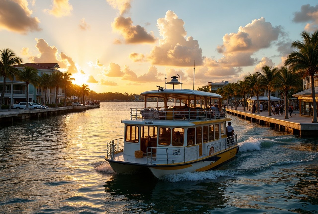
The Water Taxi operates a network of stops connecting Fort Lauderdale Beach, Las Olas Boulevard, the New River, and points along the Intracoastal. Buy a day pass and you can ride as many times as you like, disembarking for lunch on Las Olas, drifting back to the beach mid-afternoon, then catching a sunset run along the river. No parking, no traffic on A1A, no rental car burning money in a garage.
What makes the ride genuinely useful — rather than merely scenic — is that the stops actually go places worth going. The Las Olas landing puts you steps from the restaurants and galleries that give the boulevard its reputation. The Riverwalk stop sets you down near the Museum of Discovery and Science and within walking distance of the Stranahan House, the 1901 trading post that is the oldest surviving structure in Broward County. The New River route in particular rewards attention: from the water you see the layered city clearly, historic bungalows hard up against gleaming glass towers, working boatyards beside white-tablecloth terraces, the odd great blue heron posted on a piling like he owns the place.
Captains on the better runs will point out landmarks and offer context, though the boat itself does most of the storytelling. You pass through the backyards of Fort Lauderdale's wealth — docks loaded with sportfishers and tenders, manicured seawalls, the occasional private pool cantilevered over the water — and through quieter stretches where the canals narrow and the vegetation closes in. Both versions of the city are real.
Getting the Most from the Water
A few practical notes for doing this well. Mornings are calmer on the Intracoastal, with lighter boat traffic and better light for watching the water. Weekday rides are quieter than weekends, when pleasure craft and jet skis thicken the channels. If you're traveling with children, the boat ride functions as its own attraction — most kids who barely survived a museum tour are perfectly riveted by a working drawbridge opening for a mast.
For a longer look at the waterway ecosystem, Everglades Holiday Park on the western edge of Broward County runs airboat tours into the River of Grass — a completely different relationship with South Florida's water, shallow and wild rather than engineered and opulent. The two experiences together — manicured canal city and ancient sawgrass marsh — give you the full picture of what this landscape actually is and what it was before the dredges arrived.
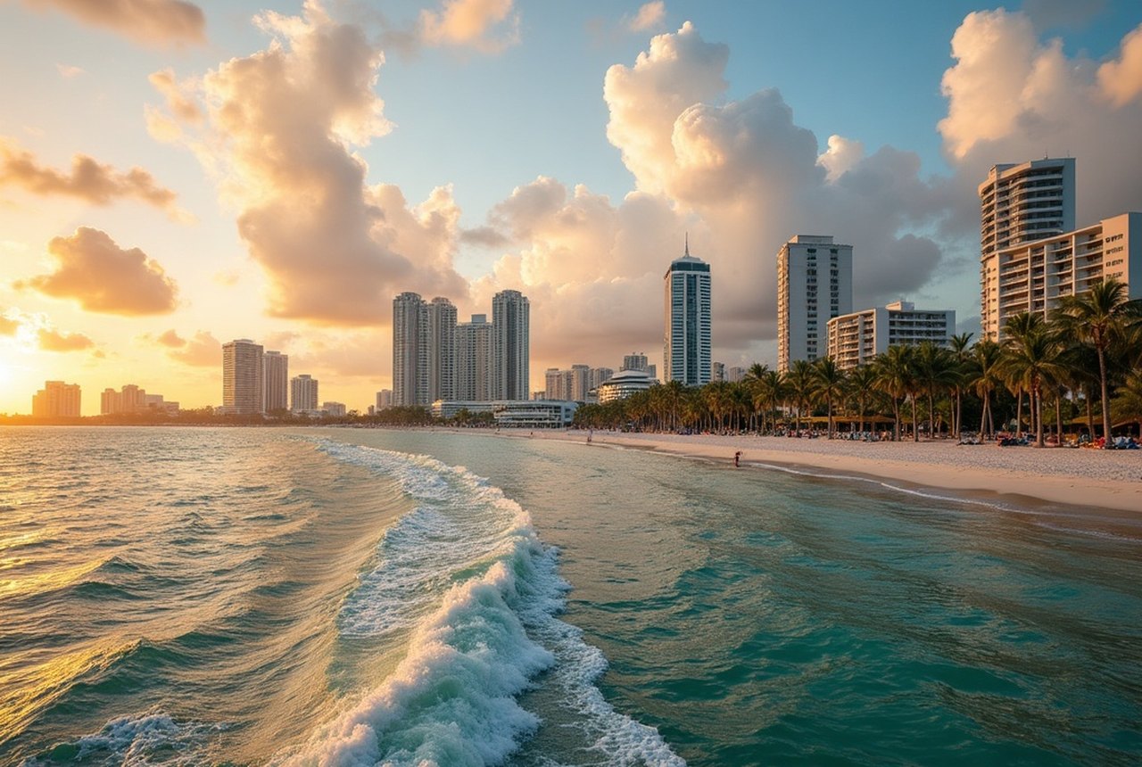
Back in town, the stretch of Fort Lauderdale Beach along A1A offers easy views of the Atlantic from the pedestrian promenade, and several waterfront restaurants position their terraces to face the channel rather than the road. But the view from a moving boat, looking back at the city as it slides past at walking pace, is the one that stays with you. Fort Lauderdale built itself to face the water. The only sensible response is to get on it.