Digging the Dream
Before the canals, Fort Lauderdale was mostly water you couldn't use and land you couldn't sell. The New River threaded through marshy hammock, mangroves choked the shoreline, and the low limestone shelf beneath it all drained poorly into the Everglades. It was beautiful in the way that defied development — which, in Florida during the early 1920s, was almost an insult.
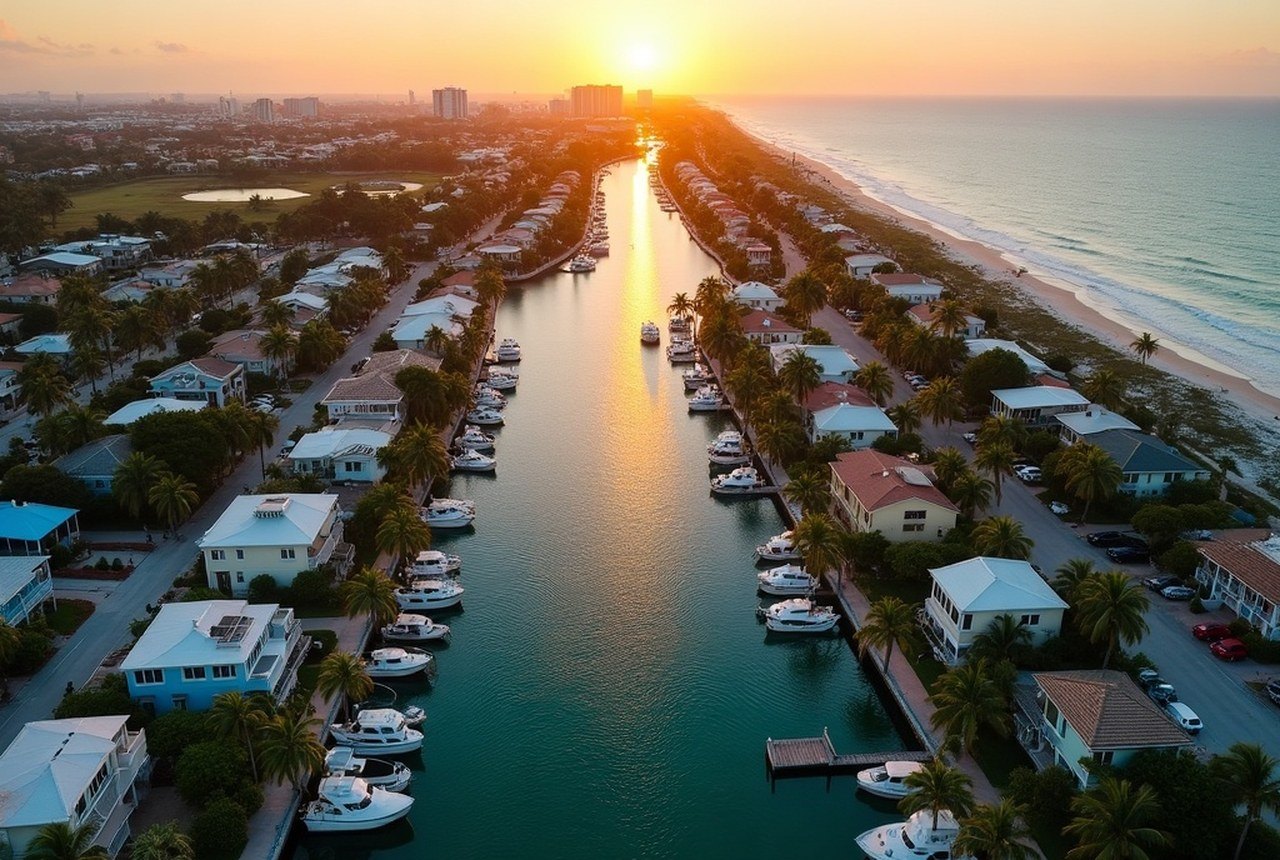
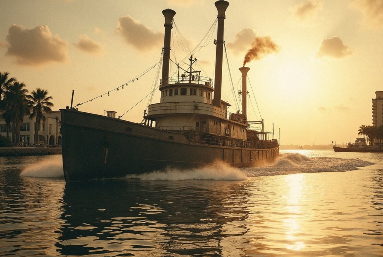
The land boom changed everything. Across South Florida, speculators and developers arrived convinced that the only thing standing between raw swamp and real-estate fortune was engineering will. In Broward County, that will took the form of dredges — massive floating machines that sucked muck from the seafloor, pumped it onto adjacent land to raise it above flood level, and left behind a grid of finger canals in their wake. Buyers got a lot with a boat dock. The developers got rich. The waterway network grew.
By the end of the decade, Fort Lauderdale had laid the bones of what would eventually become roughly 165 miles of navigable canals — a figure that would earn the city its now-standard nickname, the Venice of America. The comparison was always a little self-congratulatory, but the infrastructure behind it was genuinely extraordinary. Builders like Charles Rodes laid out planned waterfront subdivisions — Rodes' Idlewyld among them — where every home would have direct water access. Las Olas Boulevard, already developing as the city's commercial spine, connected the mainland to the barrier island across a bridge, and the canal grid fanned outward from there in subdivisions that sold the dream of waking up next to your boat.
The Price of the Makeover
None of this came without cost, and not only the financial kind. The dredge-and-fill method was, by its nature, destructive. Mangrove forests — now understood as critical nurseries for marine life, buffers against storm surge, and carbon sinks of remarkable efficiency — were cleared wholesale. The tidal flats and estuarine habitats that had sustained the Seminole people's fishing grounds for generations were regraded into residential lots. What the engineers saw as waste, ecologists would later recognize as the region's foundational biology.
The 1926 hurricane delivered a brutal interruption. The storm collapsed the broader Florida land boom, wiped out fortunes, and left half-finished subdivisions waterlogged and abandoned across Broward County. Fort Lauderdale's canal infrastructure survived physically, but the speculative fever broke. The city spent much of the late 1920s and the Depression years simply trying to hold on to what had been built.
Recovery came slowly, then all at once. After World War II, returning veterans and the expanding American middle class rediscovered Florida, and the canal-laced waterfront lots that had seemed like stranded investments suddenly looked like paradise. The postwar building boom filled in the grid that the 1920s had sketched. By the time Where the Boys Are fixed Fort Lauderdale in the national imagination in 1960, the canal city was fully formed — a place where suburbia met the sea and practically every backyard touched navigable water.
Living With What Was Built
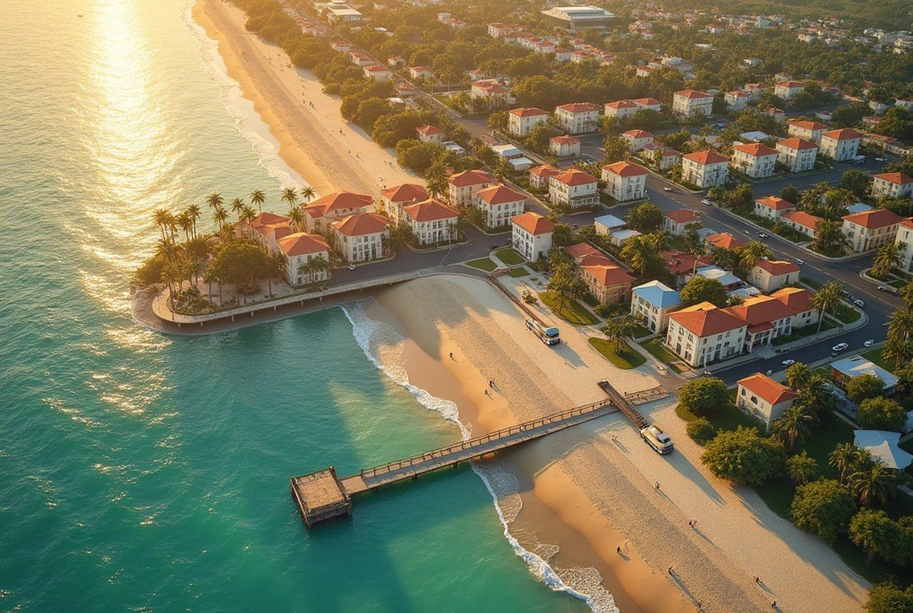
The Intracoastal Waterway runs the length of the city's barrier island, and the finger canals extend into nearly every residential neighborhood west of the beach. It is one of the densest private-waterfront networks in the United States — the product of a single furious decade of dredging layered onto thirty years of infill development.
What it replaced is mostly gone. The mangrove fringe that once defined this coastline exists now in patches — at Lloyd Beach State Park in Dania Beach, in the conservation areas pressing against the Everglades, in small preserves that read, to anyone paying attention, as archaeological evidence of the original shore. The Fort Lauderdale History Center holds records that document the transformation — maps, photographs, plats — a paper trail of a landscape that was unmade and remade with startling speed.
The canals are beautiful, and they are real, and they work. They are also a reminder that cities built on dredged ground make a permanent bargain with the water they displaced. In an era of rising seas, Fort Lauderdale is renegotiating the terms of that bargain — thoughtfully, slowly, and with the full weight of those 165 miles behind it.
The chronology
- Pre-1920smangrove coast, tidal flats, New River threading through marshy hammock
- Early 1920sdredge-and-fill boom; finger canal grid laid out; subdivisions platted
- 1926hurricane ends land boom speculation; development stalls
- Late 1940s–1950spostwar boom fills in the 1920s canal grid
- 1960Where the Boys Are cements Fort Lauderdale's canal-city identity nationally